Why it exists
Environmental researchers need useful spectral information at a local scale. Handheld surveys are slow, while aircraft and satellite hyperspectral systems can be costly or unsuitable for a small study.
Portfolio / CASE STUDY
VCU team capstone · 2017
A self-powered UAV sensor payload combining spectroscopy, laser ranging, and orientation data for environmental mapping.
Team contributor: programming and 3D modeling; publication coauthor
Environmental researchers need useful spectral information at a local scale. Handheld surveys are slow, while aircraft and satellite hyperspectral systems can be costly or unsuitable for a small study.
Our VCU team designed a self-powered payload for an unmanned aerial vehicle. A laser rangefinder, spectrometer, and orientation tracking support a three-dimensional map of material signatures. The project explored applications in algal bloom monitoring, forestry, and agriculture.
TEAM CAPSTONE
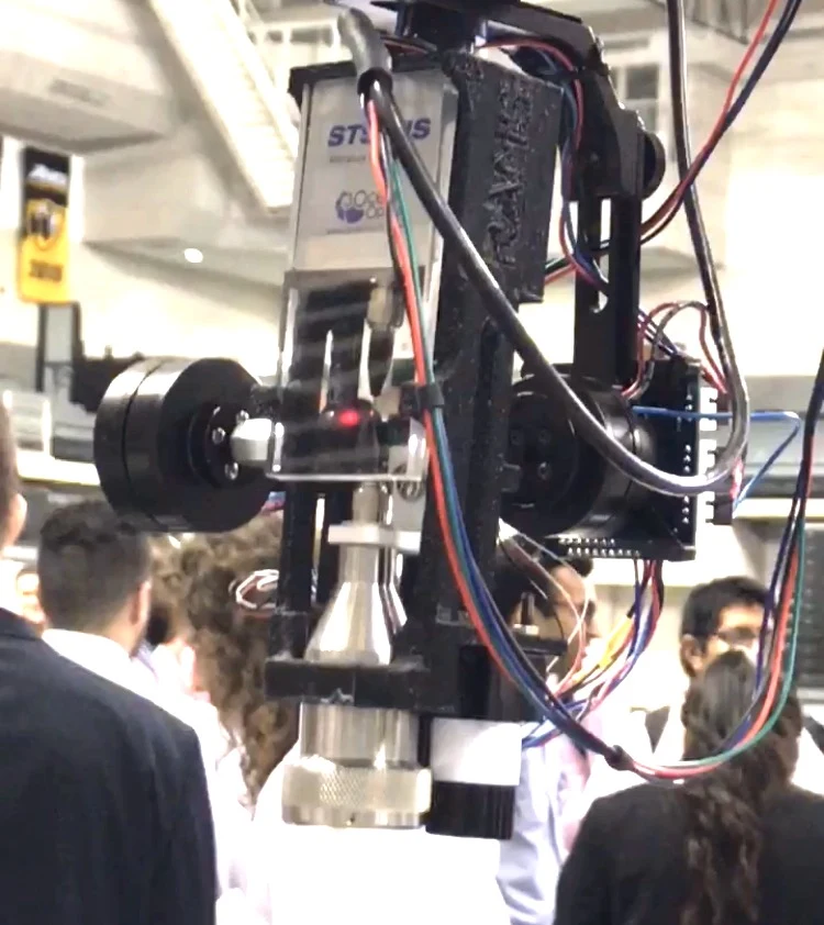
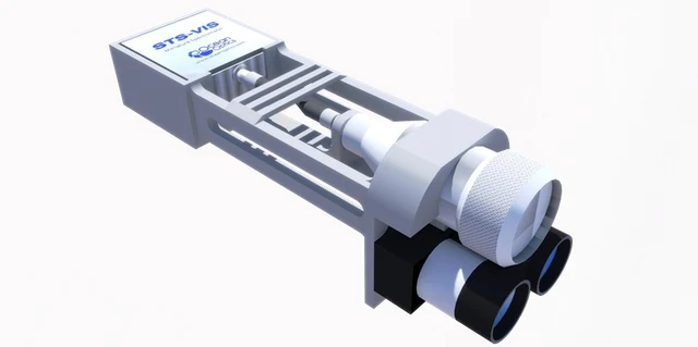
RAMS combines geometry and spectral observations. The public C implementation uses concurrent sensor acquisition workers and queues, with MySQL handling captured data. My contribution included programming and 3D modeling.
A self-powered payload includes the required sensors and aims to work with aircraft that can carry its weight.
The VCU publication names Kenny Parker, José Ramirez, Chris Lillard, and Quan Ma. The project repository identifies NASA Langley Research Center as sponsor of this university team capstone.
Academic team capstone and coauthored 2017 publication. The project combines programming, instrumentation, and physical design; the linked publication and repository document the team’s work.